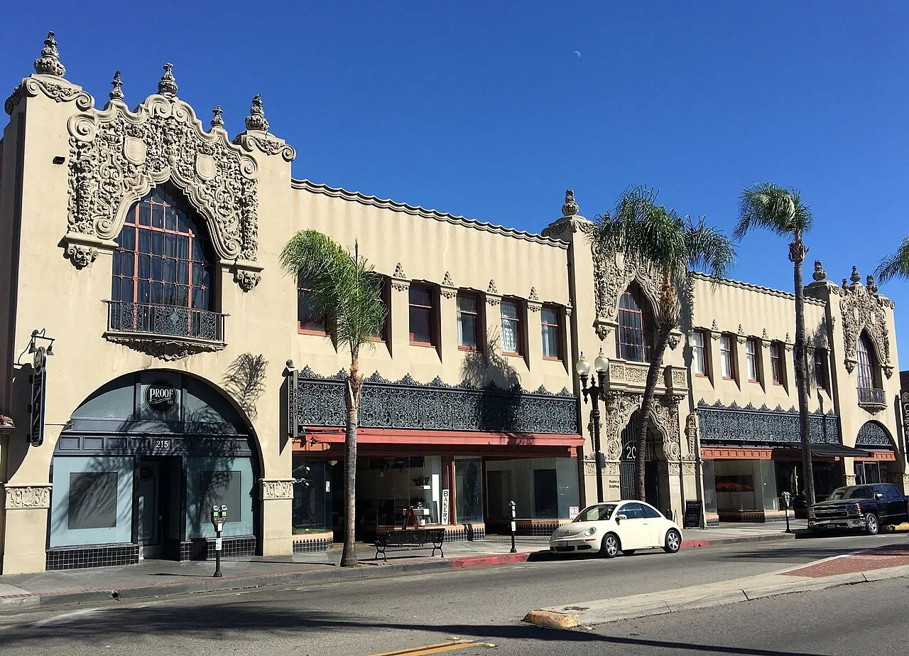
A roof with broad spans or restricted access can be difficult to document from a single ladder point. Drone imaging gives the project team a view of field conditions, drainage patterns, equipment locations, and roof edges without treating an image as a hands-on inspection. In Santa Ana, CA, the General Plan identifies industrial, general-commercial, and institutional uses, and city planning for the Dyer Road employment zone includes corporate offices, research work, and flexible industrial space. Roof layouts and operating constraints vary across those properties. We use aerial images to map visible conditions and identify areas that need closer review, then explain where a person must access the roof to confirm attachment, bond, or substrate condition. Summer heat and seasonal dry winds make perimeter and rooftop details useful things to record. The images can help plan a safe access route, coordinate mechanical openings, and establish a photo baseline. They cannot confirm hidden moisture, membrane adhesion, or deck condition by themselves. Pairing imagery with a hands-on inspection turns the view into a roof record that the general contractor can use to plan repair, replacement, or maintenance.
Drone Roof Inspection in Santa Ana, CA
What can the aerial view show?
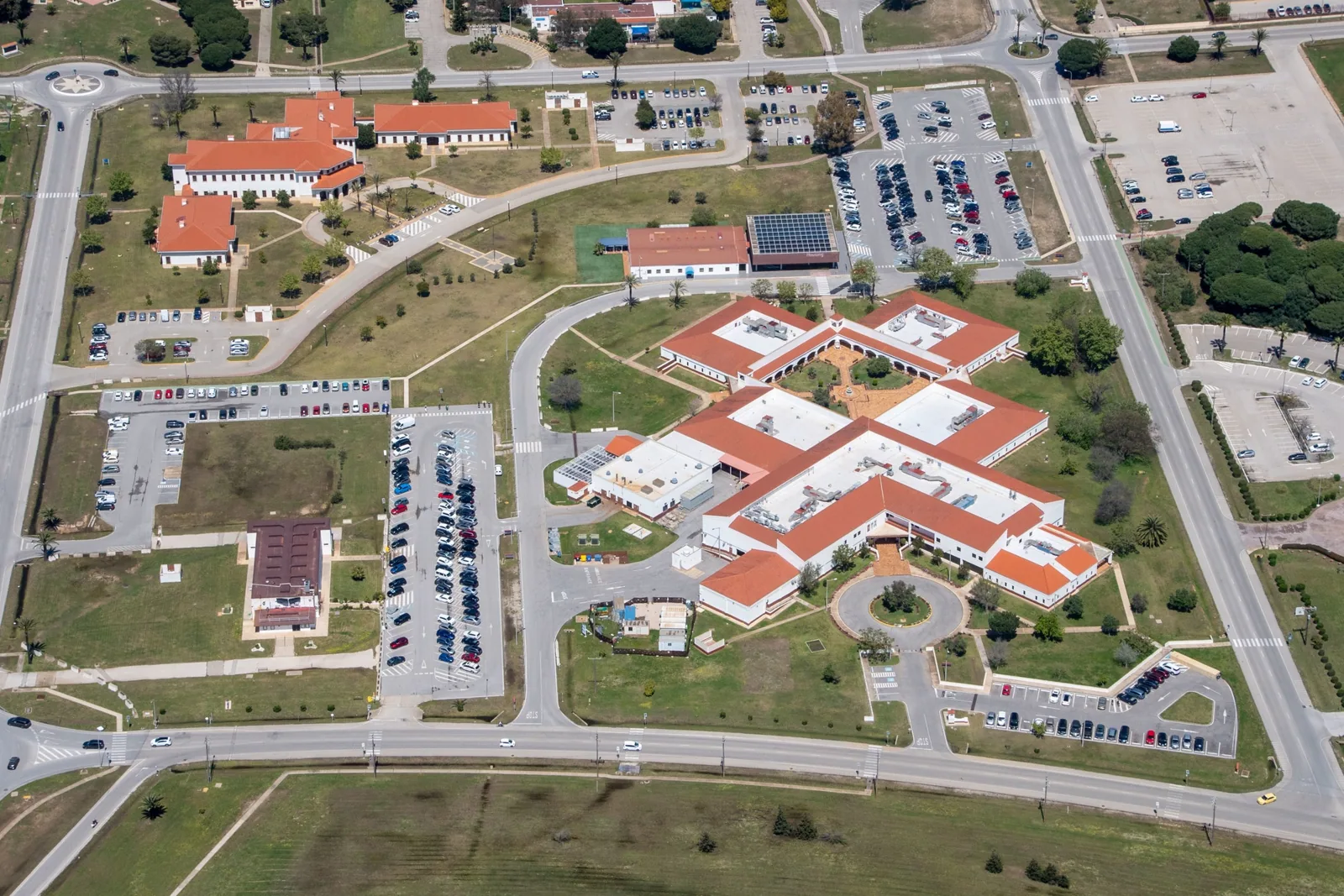
Images can map roof geometry, surface changes, ponding patterns visible at the time, drain locations, equipment groupings, and edge conditions. They can also show where additions meet the main building or where different roof sections have distinct layouts. We organize images by zone and note the date and conditions so they remain tied to the inspected property. The objective is a readable visual record, not a claim about what is beneath the membrane.
For a general contractor, the map helps coordinate access and trade boundaries. A project near the city’s Dyer Road focus area may include office, flex, and commercial activity. Before work, aerial views can mark likely crane paths, roof hatches, mechanical clusters, and places where a second trade needs access. The site team still confirms staging and load limits through project documents and field review.
Drone imagery can help distinguish broad patterns from isolated details. A dark area might reflect a material change, shade, surface moisture, or a repair; the photograph alone does not determine which. We label the observation, then recommend a ground-level check where the difference matters. The photo report can combine images with hands-on observations, test locations, and work priorities.
Where does a person still need to inspect?
An aerial image cannot test the membrane bond or determine if insulation is wet. It cannot show concealed deck corrosion, fastener pullout, or whether a flashing corner has separated beneath a cap. Those conditions require a safe hands-on check, suitable testing, or a controlled opening. We identify the difference between what the camera shows and what the roof assembly has confirmed.
Roof access can be limited by equipment, parapets, fragile panels, tenant operations, or active mechanical work. We plan flights and access in accordance with site conditions and applicable requirements, then note areas the camera could not safely document. A drone is a tool for visibility, not a substitute for permission, fall protection, or a field inspection. If an image suggests loose edge metal or an open seam, we schedule a closer check before specifying repair.
Santa Ana’s planning materials distinguish multiple employment and mixed-use areas. Metro East, for example, is a city-planned mixed-use overlay with environmental review and an open-space amenity plan. A roof near active building access may need image capture coordinated around occupants and operations. We work with the general contractor on launch area, flight path, restricted zones, and the roof sections that need a person on the surface.
How can imagery support a post-wind review?
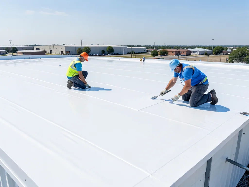
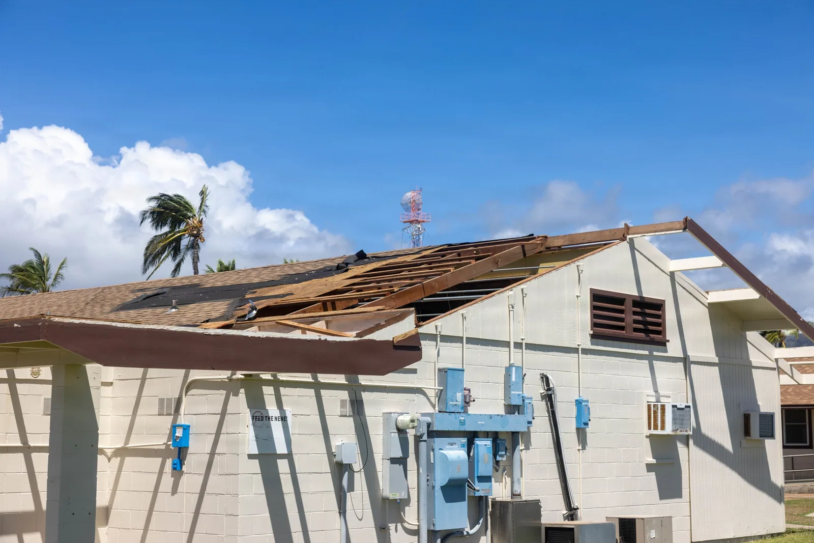
The National Weather Service describes Santa Ana winds as dry and often warm or hot, with the season typically running from September through May. Strong Santa Ana wind episodes have damaged property across Southern California. After a strong wind event, overhead images can help log visible debris, displaced objects, or changes along the perimeter. The images do not prove causation or replace close inspection of the suspected area.
We compare a current image with a prior record only when both can be aligned clearly. A changed object position may indicate movement, but the fasteners and substrate still need hands-on review. We inspect edge metal, flashings, rooftop equipment securement, and possible debris impacts where access is safe. A wind-damage inspection can then document the physical findings and any temporary protection needed.
For storm-related water entry, aerial coverage can show debris fields or drainage obstruction at a broad level. It cannot confirm that a drain is flowing or that water is trapped below a sheet. We follow image clues with a drainage check and field inspection as needed. The report separates visible observations from confirmed damage and keeps the repair scope tied to the actual roof.
What goes into the image record?
We organize images by roof zone and note transitions, equipment, drains, edges, and details needing a close-up. The record includes capture conditions and access limits. For an estimate, we distinguish confirmed observations from those needing physical verification. The condition report can link the aerial view to a roof plan and hands-on findings.
Orange’s Katella Avenue corridor is a broad commercial district, and the wider region includes employment and retail areas with different roof layouts. Images can help compare zones or plan a multi-building inspection, but each property needs its own record of assembly, access, and limits.
Drone work is useful when it answers a planning question: which zones need closer inspection, where are drains and curbs, or how can a broad roof be documented? Before flight, we confirm permission, launch and recovery areas, airspace restrictions, people below, and weather. If conditions are unsuitable, another inspection method may be better.
How do images connect to roof work?
After capture, we review the views with the site team and mark the details that affect the next decision. A visible puncture or loose edge can be assigned for field confirmation. A broad water pattern may call for drainage review or moisture testing. Equipment clusters can help sequence access for a future replacement. Each recommendation includes the check needed to move from image to scope.
If the roof is being replaced, imagery can help identify phases, openings, and perimeter transitions. If the goal is repair, it helps place the technician at the right zone. For maintenance, a dated photo record gives later inspections a comparison point. We coordinate with mechanical and sheet-metal trades when a roof opening or curb requires a joint handoff. The replacement planning review or repair evaluation follows from the conditions confirmed on site.
We close the job with the image set, limits, and agreed next action. A building manager or general contractor can then share the record with the team responsible for access, mechanical work, and roof decisions. It should be clear which view documents which zone, what was visible, and which condition remains unconfirmed. That is what makes aerial imaging useful in a construction sequence.
Questions About Drone Roof Inspection
No. Images can point to areas for follow-up, but moisture needs suitable testing or a direct check. We label what is visible and keep unconfirmed conditions separate from the inspection finding.
No. A camera documents visible surface and layout. A person still needs to inspect seams, bond, flashing, attachment, and substrate where those conditions matter to the scope.
It can document broad visible changes or debris and help locate areas for closer review. We then check edge metal, flashings, and rooftop equipment at roof level. The images alone do not establish cause or damage.
The views can help plan roof access, identify equipment clusters, mark likely work zones, and coordinate other trades. We note capture conditions and access limits so the team knows what the images establish.
We check site conditions and applicable flight restrictions before capture. If a flight is not appropriate, we use another safe inspection method and record which areas were not photographed.
Related Roofing Work
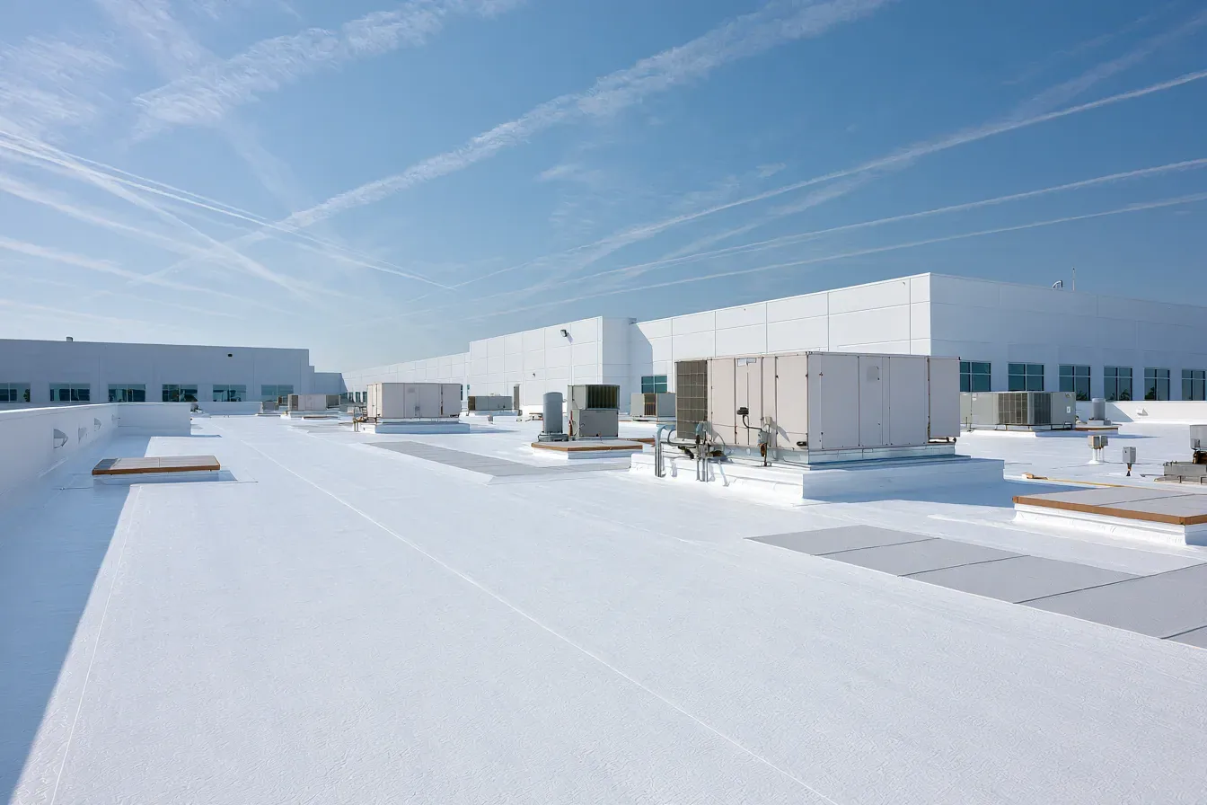 Commercial Roof InspectionSee how we handle itLearn More
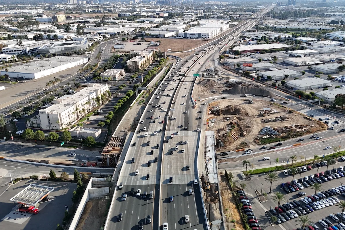 55 Freeway/Dyer Road AreaScope, options and next stepsLearn More
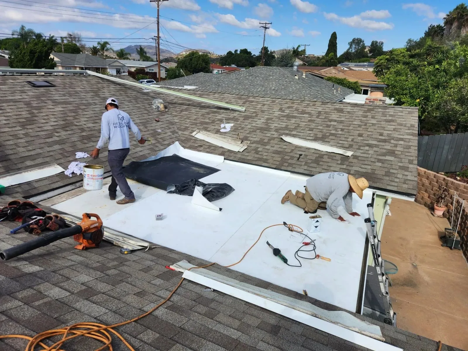 Roof Condition ReportsWhat the work involvesLearn More
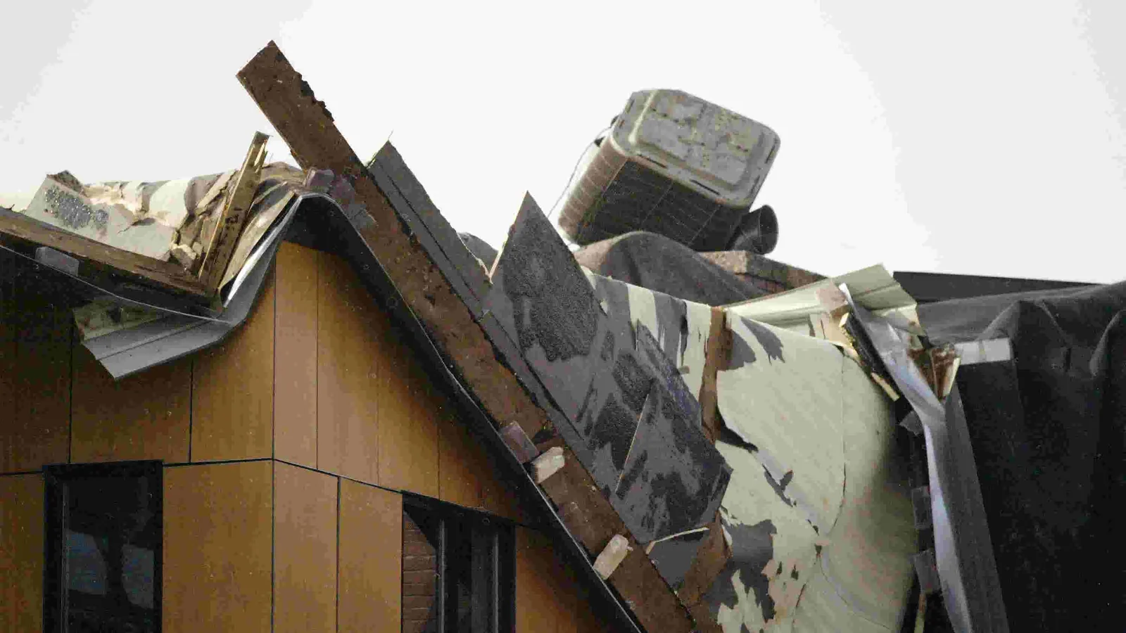 Wind Damage Roof RepairSee how we handle itLearn More
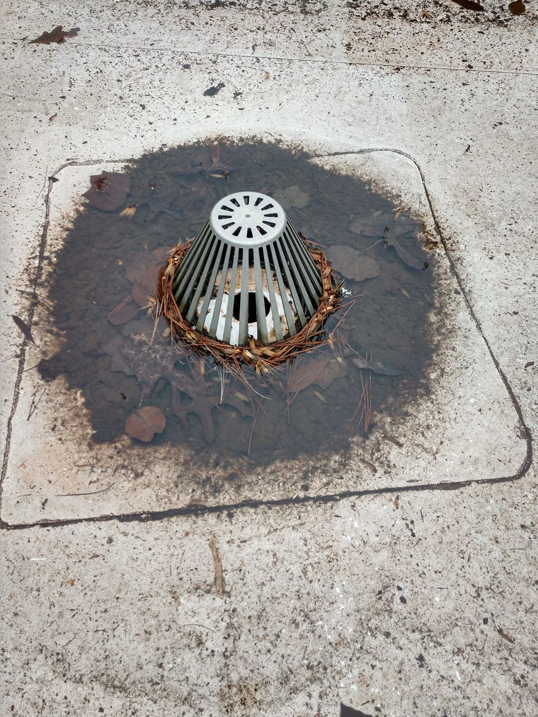 Commercial Roof Drains and ScuppersScope, options and next stepsLearn MoreRoof Condition ReportsWhat the work involvesLearn More
Talk to a Santa Ana Commercial Roofer
Tell us about the building, the roof and what you are seeing. An active leak, storm damage, a worn membrane or a replacement you need to budget for, we will set a time to walk the roof.
After the visit you get photos of what we found and a written scope with clear options, so you can decide on repair, coating or replacement with real information in hand.
©2026 Commercial Roofers Santa Ana
All Rights ReservedPrivacy PolicyTerms of ServiceSitemap